Shaun being the
founder of our club had climbed to a few summits before Tetley
joined him. So that he and Tetley could finish the Wainwrights
together it was necessary therefore to revisit these fells, and
Loughrigg was one of them. It was a very cold and frosty but
clear January morning when we set off tucked securely in
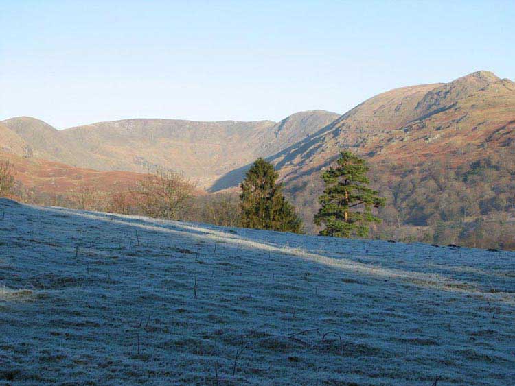
Dad’s rucksack. We crossed Rothay Park and then continued
past Browhead Farm. Here we had a superb view of the Fairfield
Horseshoe.
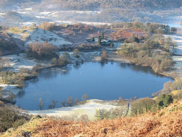
After crossing more open ground the
true ascent of the fell commenced and once the ridge was reached
we were astounded by the views to the west. First looking down we
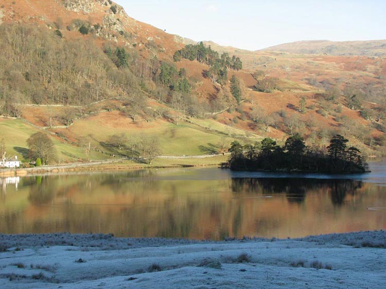
saw Loughrigg Tarn.
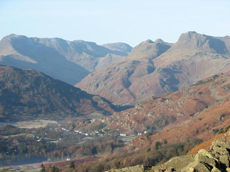
Then raising our eyes we beheld
this view of Bowfell, Esk Pike, Great End, Loft Crag, Pike
o’ Stickle and Harrison Stickle.
We continued to enjoy these views
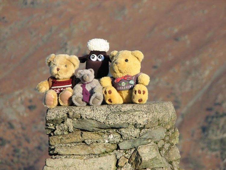
as Dad walked on and after about another half and hour we reached
the summit marked by a trig point. Needless to say we jumped out
to have our photograph taken.
The onward route was now north-west
to descend to Loughrigg Terrace. Being the north facing and
sunless side of the hill the ground was just like sheet ice. Dad
had to be very careful indeed, and while he did "skate"
on a few occasions we all thankfully got safely to the good path
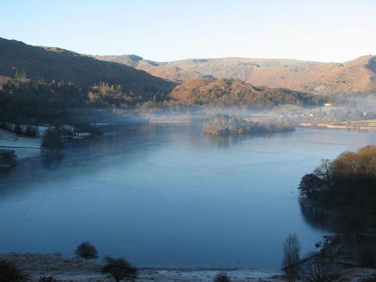
of the Terrace. This overlooks Grasmere.
Descending further we walked
alongside Rydal Water. It was afternoon now, yet the grass here
was still covered with frost, so you can imagine what a cold day
it was.
Eventually we reached the main road
and followed this to the car park. Dad went to an open air café
near Grasmere, but not surprisingly it was closed. Instead he
went to one called Wilfs in the village of Staveley. A warming
pot of tea was enjoyed with an enormous piece of chocolate
caramel shortbread.