LANCASTER CANAL,
PRIEST HUTTON, BORWICK & CAPERNWRAY
from TEWITFIELD
Summary
Date - 21st January 2010 & 9th March 2021
Distance - 6.25 miles Ascent - 350 ft
Map - OL7
Start point -
Longlands Hotel car park (SD
520 736)
Foreword
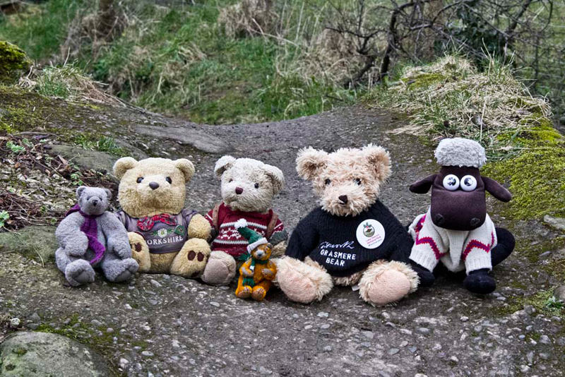
After just over 11 years, we repeated this walk. Just Dad and us, as due to the Covid lockdown, we are unable to meet Uncle Eric for walks. Since the original walk, our pal Southey has joined our club. Dad took the camera so that Southey could have his picture taken to acknowledge him doing the walk. It also gave Dad the opportunity to take more of the walk itself. This story was one of those that we are currently in the process of rewriting and so is being further expanded to include some of the pictures taken in 2021. We hope you enjoy are revised account. The majority of the narrative remains based on the day in 2010.
Preface
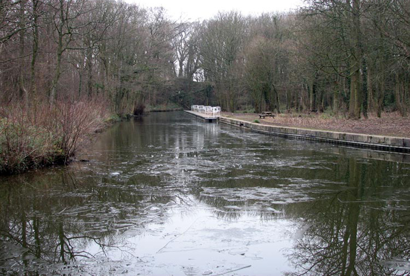
"Well finally all the snow and
ice has gone, thank goodness", remarked Allen.
"Yes, and the good news is
that Uncle Eric and Dad have arranged to do that walk that had to
be put off last week", replied Shaun.
"That's just great",
piped up Tetley. "We have not been able to have Uncle Eric's
company since the middle of December, when we did the Wasdale
Horseshoe from Shap summit."
"Ooh I remember that",
said Grizzly. "The forecast had been for drizzle, but
instead we had driving rain in the strong wind. At least though
it cleared up after a couple of hours so the second part of the
walk was more pleasant."
"Roll on tomorrow, that's what
I say", interjected Little Eric.
"Amen to that ", replied
Allen.
The Walk
The day was to be dry with some sunshine but a cold wind.
Getting to the start was easy, driving
north, through Carnforth, then at the third roundabout, taking the road towards Burton in Kendal. Just after crossing the motorway we turned right into the large car park of The Longlands Hotel.
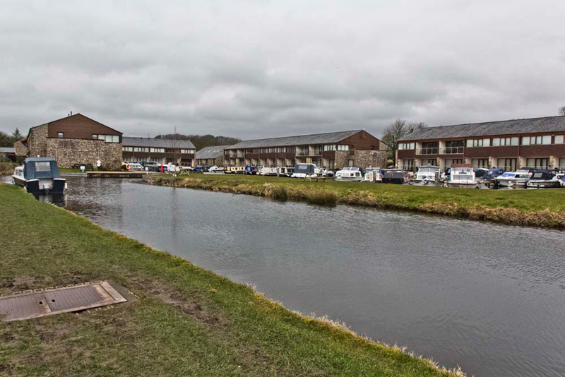
Just behind a new development of holiday homes and
berths for canal barges has been built. Grizzly said "this marks the northern
limit of the navigable section of the Lancaster Canal. Beyond are
the disused Northern Reaches, that once stretched to Kendal.
There is a plan to restore this section but has yet
to come to fruition. When the M6 was built the canal was cut
three times by the road adding further complications to the
restoration."
Eleven years later the position was still the same, and in the light of the severe financial situation due to the Covid pandemic, we cannot see the restoration ever happening
Uncle Eric had arrived first, and we called out a cheery, "good morning. So nice to see you and have your company."
"Thanks lads, good to see you too."
While Dad got his boots on, we snuggled down in his rucksack and got comfortable.
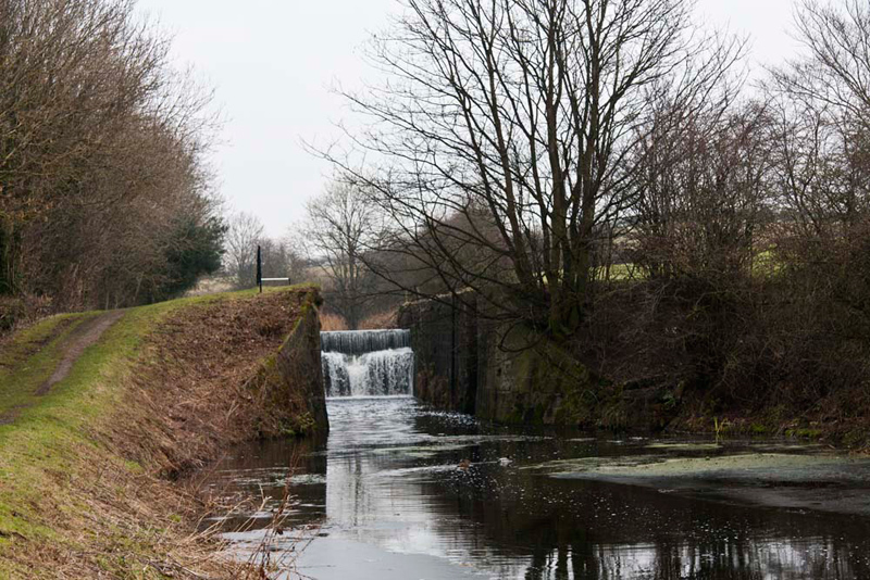
Shaun issued guidance, "go out of the rear of the car park towards the motorway, then right under the bridge to join the Northern Reaches."
The towpath climbed gently to pass the 8 locks,
standing forlorn without their gates and paddles.
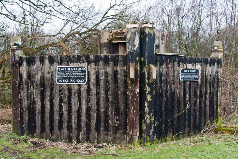
By the eighth lock stand a pair of gates, that were once in place at the top of that lock.
Reading the information plaques Grizzly told us, "the locks raised the
canal by 75 feet in half a mile, and were the only ones on the 57
miles of the canal between Preston and Kendal, being in use from
1819 to 1942."
"That is correct for the main canal, but for the sake of accuracy, there are six locks on the Glasson Branch that takes the canal down to sea level", went on Tetley.
"This is correct pal", agreed Grizzly.
Just a short way on we reached
Saltermire Bridge, where we could see just beyond the first place
where it is culverted and cut by the M6 motorway.
Shaun said, "We leave the canal and cross the
bridge, and stroll along the lane."
"Boy, wasn't it noisy walking
by the motorway" said Shaun.
"Yes, but at least now we have
walked away from it we do not have to shout anymore",
replied Allen.
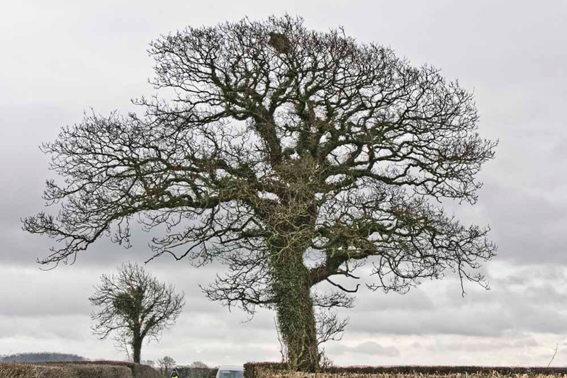
By the lane stands this tree. "It will make a nice picture", commented Little Eric.
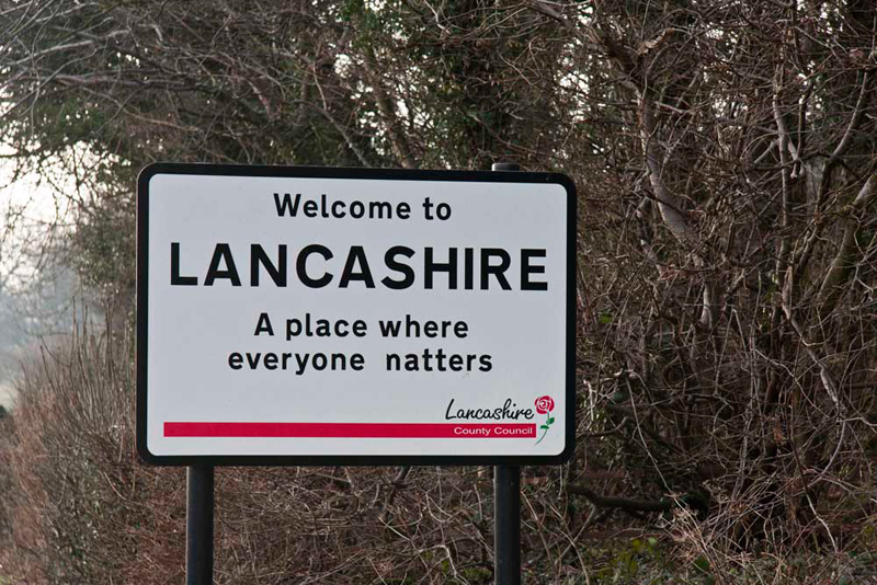
The lane led to the Burton in Kendal road . "Hey", called out Tetley.
"Uncle Brian would agree, that the way someone has altered
that sign, is very appropriate to Dad, as he cannot shut him up
when he returns from a walk."
Just for the record the last word
should read 'matters'. By 2021 the sign had been replaced and now reads, 'Lancashire welcomes careful drivers'.
"We cross and take the lane opposite", instructed Shaun.
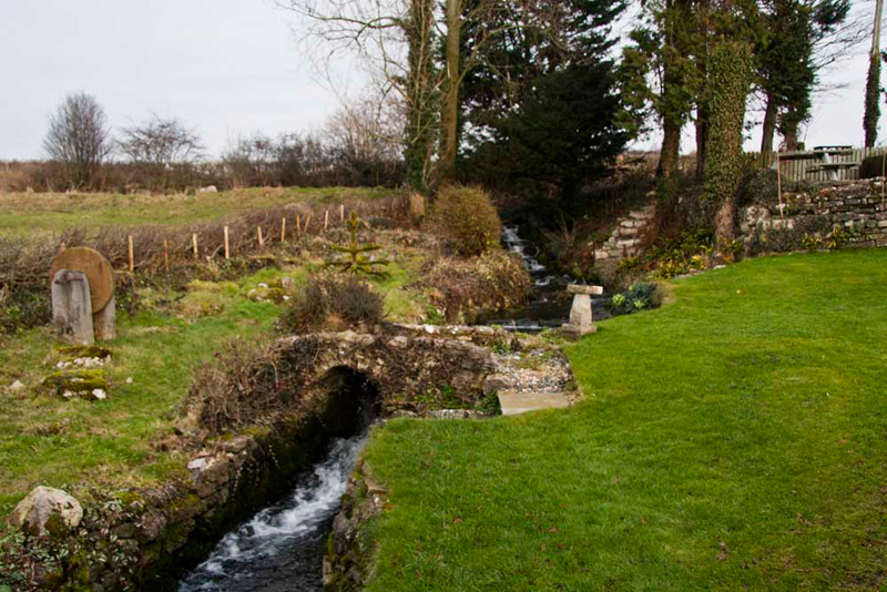
Reaching a house on the left, Grizzly said, "I like the way the beck has been nicely incorporated into the landscaping"
Shaun said, "it's called White Beck that starts just a short distance above."
Shaun pointed, "our route is over the stile opposite, and then diagonally across the field to a
stile in the left corner."
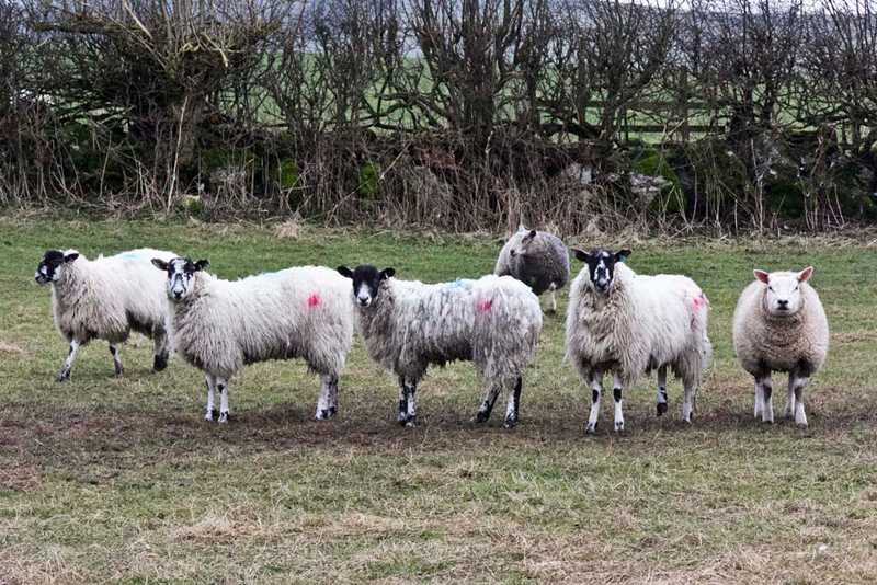
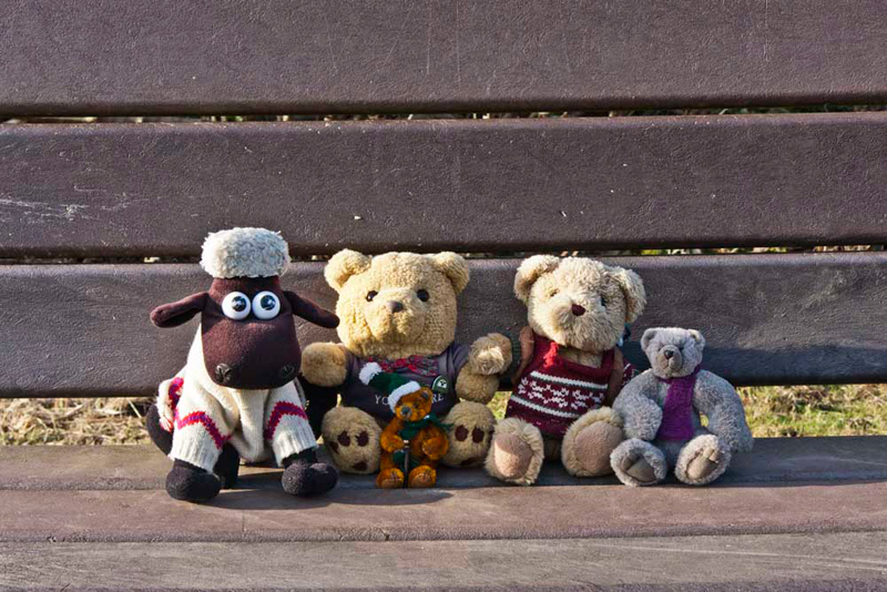
It was empty in 2010, but not so in 2021, when Southey said, "the sheep are all gathered by where we exit. Some are bound to pose Dad."
"I know I do not like having sheep pictures in the stories, but I think this shot is great", commented Allen.
Over the stile, Shaun said, "left to that stile in the fence, then we cross diagonally again to a stile in the far left
corner."
That done, Little Eric asked, "where now."
"Cross left to the ladderstile", replied Shaun.
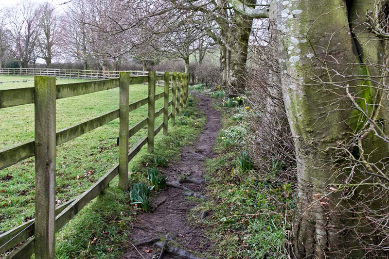
This gave access to an old
hedged and walled path that led to a narrow road. "Turn right to Priest Hutton", advised Shaun.
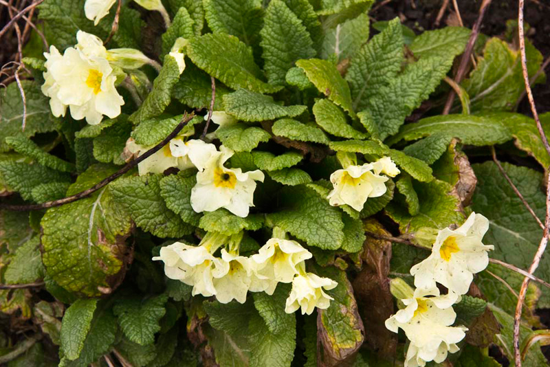
In 2021, Tetley pointed, "look, primroses. I always think of Uncle Brian. He loved to see them."
"I miss him so much", sniffed Allen.
"I know pal", replied Tetley, putting a comforting paw on his shoulder. "He will be looking down, and be glad that Dad is doing the walks."
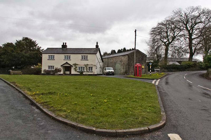
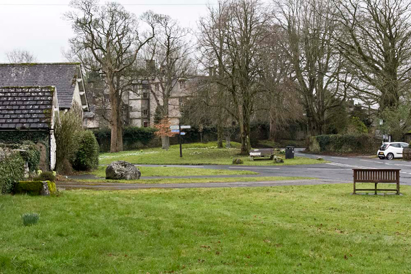
Soon we arrived at the centre of the quiet
village of Priest Hutton, with its pretty green.
"Our route is the road signed to Borwick", advised Shaun.
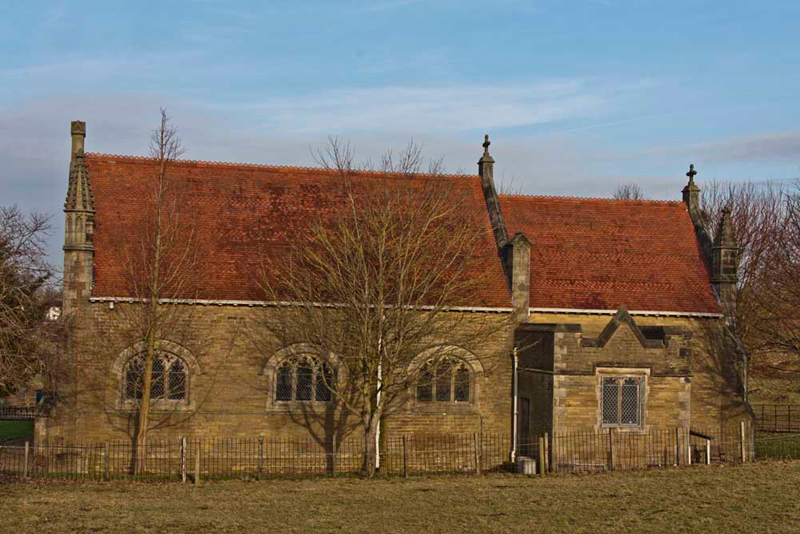
This quite soon brought us to St Mary's
Church.
Grizzly said, "the church was built in 1895/96 at
the expense of William Sharp in memory of his wife Clara.
According to the information on the Internet, the architects
designed a simple building that was well-suited to the size of
the community. It contains fine oak pews and excellent stained
glass windows by Shrigley and Hunt, who had workshops in
Lancaster."
"Up those steps beyond the church, then immediately right through the gate and along the path that avoids walking on the road", instructed Shaun.
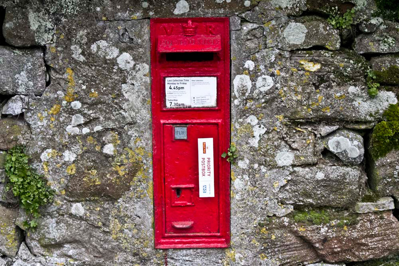
This soon brought us to the village of Borwick, where there are some very
old houses.
"Look, there's the post box", pointed Little Eric. "A nice colourful picture for the story. It is very old too dating from the reign of Queen Victoria."
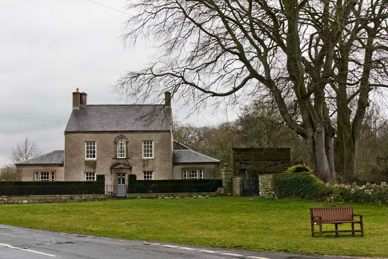
"Then he said, "that will make a nice shot across the green to that lovely house."
Then looking the other way, this shot of the triangular green with trees encircled by roads.
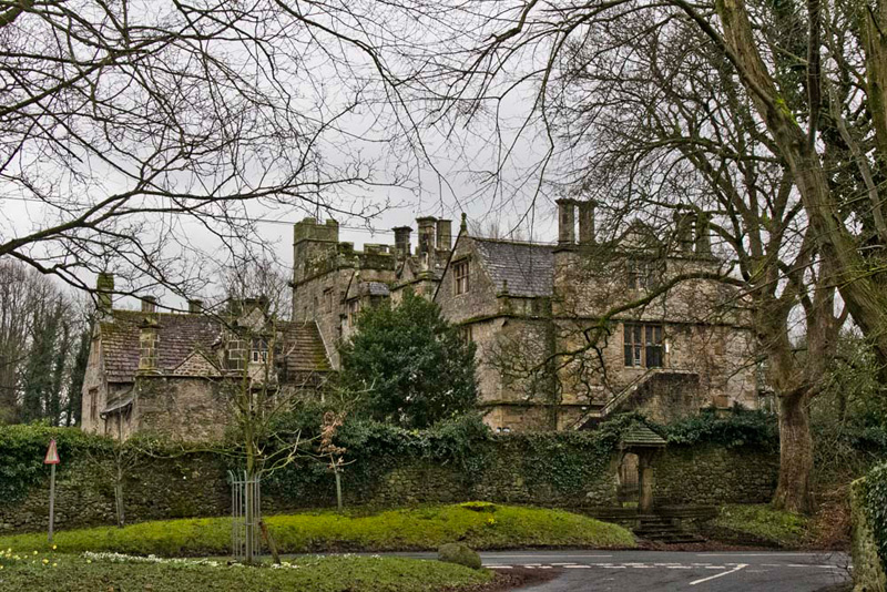
"What's that big building
behind the high wall", asked Little Eric.
"Borwick Hall", replied
Allen.
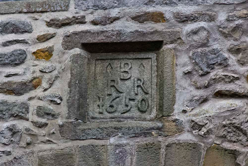
Walking past the Hall, Grizzly said, "the gatehouse was built in 1650 as the date stone shows. It is a grade 1 listed structure. The B and R refer to Robert Bindloss. The other R is the initial of his wife, Rebecca."
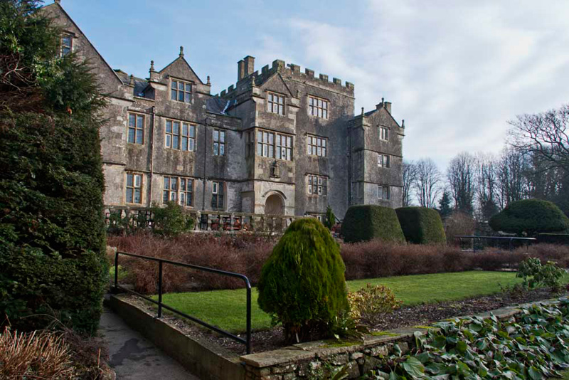
Grizzly then further educated us, "the Hall is Elizabethan, the Manor
house being purchased in 1590 by the Kendal clothier, Robert
Bindloss, who with his descendants developed the hall as it
stands today, adding the gate house and barns. Currently it is operated by Lancashire County Council, offering activity holidays, educational and
team building courses and the like, for young people and adults."
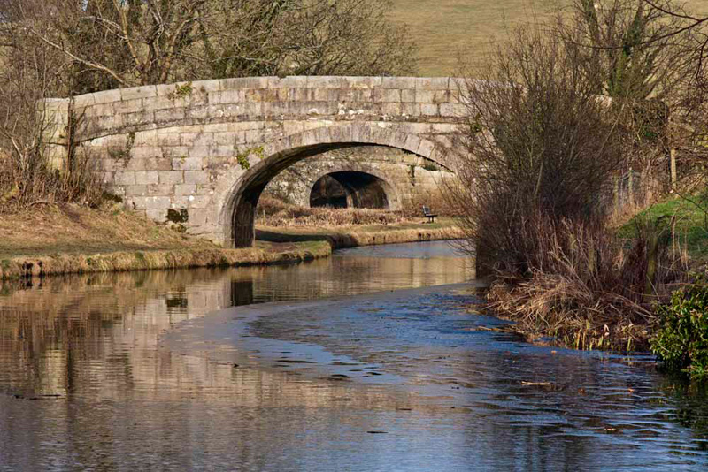
Just a short walk brought us to
Borwick Hall Bridge. "We join the canal here and walk south along the towpath towards Capernwray", said Shaun.
"Look Dad, there is a seat
just a few yards ahead, which would be a good place for us to
pose for our picture", piped up Grizzly.
"Is is it all right if we stop
to do this?, Allen asked Uncle Eric.
"Of course Lads", he
replied.
Strolling along the delightful
stretch of towpath, we, after a while rounded a bend, and Little
Eric asked, "where does that branch over there go?"
"That is the Capernwray Arm.
It was used to load boats with stone from the quarry in the woods", replied Allen, showing off his
knowledge. "This is long gone now and some parts of the area is actually now a caravan park."
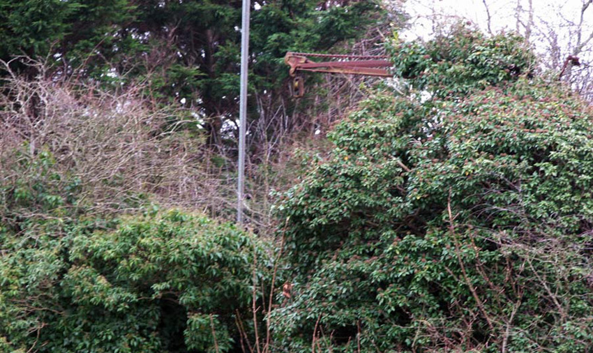
Tetley then added, "there was
also a tramway to bring the stone in wagons to a wharf, just a
little further along, and although from this side you cannot see
it, there is amongst those bushes what remains of the loading
crane."
"We saw that when we did a
variation of this walk in February 2006, and Dad took a picture",
added Shaun.
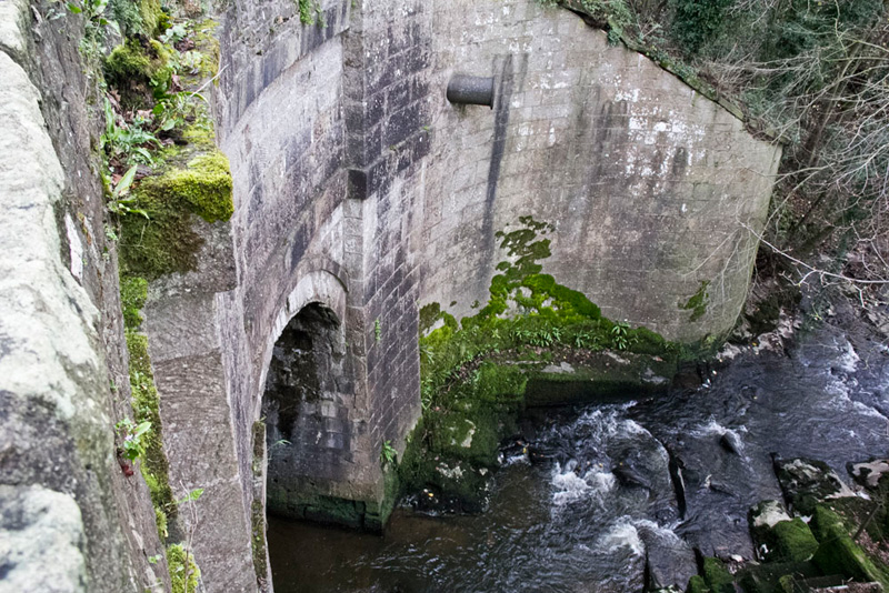
Passing under the railway bridge...
...we soon crossed the Keer Aqueduct that is a single span 43
feet long, carrying the canal 35 feet above the River Keer. The
Engineer was John Rennie, and it was first used in 1797.
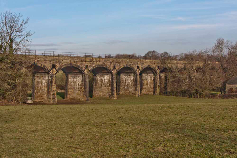
"We leave the canal at the next bridge, and walk ahead to then take a track right
towards the impressive Keer Viaduct, that carries the Carnforth
to Skipton railway line across a small valley and the River Keer", said Shaun.
This was another chance for Dad to get a decent picture of this,
so a detour was made over a stile into the adjacent field to get
the right angle for the shot. Uncle Eric is a railway enthusiast
so is very experienced in photographing such structures, so
advised Dad to walk past it and take an angled shot.
"Excellent advice, Uncle Eric", said Little Eric. "Thank you."
We have been unable to find out any detailed information
about the viaduct, except to say that it has ten arches, the
seventh one from the left spanning the River Keer.
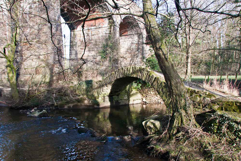
Returning to the track we headed
down towards the viaduct. This was completely new ground for us
all, and along the lane we reached the River Keer that is crossed
by this superb packhorse bridge. Of uncertain date it could be medieval. It is a quite magical
place with the tall arches of the viaduct overshadowing both the
bridge and the river.
"If ever a location cried out to be
photographed!", called out Grizzly.
In 2021, Allen commented, "the tall tree by the bridge is gone. Presumably is posed a danger of causing damage had it fallen in a storm."
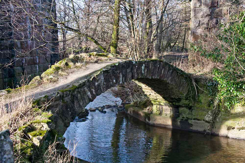
We include this second shot that
dwells solely on the bridge and shows how graceful the span is.
As yet our pal Southey has not appeared. Well this is rectified below, as we posed on the bridge.
Our path lay over the bridge, and
we could only wonder how many people over the centuries must have
walked over it. Continuing on the good track, we eventually went
right at a junction to come in a circle to Borwick Hall Bridge,
once again. The canal towpath was joined here and followed north
to Tewitfield.
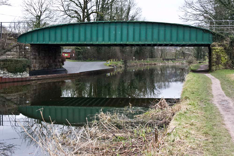
Continuing on the bridge theme, we liked this shot
that Dad took of bridge number 136, framing bridge number 137.
Quite soon we reached Tewitfield Marina beyond which we followed the path to the car park.
"Thank you Uncle Eric and
Dad, yet again, for taking us on a most fascinating walk of
discovery", said Tetley.
By now Dad and Uncle Eric were hungry so they went to
the nearby Greenlands Farm Village, to lunch at the Wellies Cafe. They each
had a delicious sandwich and Dad had soup too. Dad had been
before, but it was Uncle Eric's first visit. He was impressed and
said he will certainly be back! It is a place that can be
thoroughly recommended. Lunch was followed by a visit to the
farmshop where Uncle Eric bought some produce.
Thank you again Uncle Eric for your company", said Allen. "We have all thoroughly enjoyed the walk. Here's to the next."