"That was an interesting walk, last Tuesday with Uncle Eric", said Tetley, who like the rest of us was enjoying a nice mug of tea and biscuits from the tuck tin.
"Yes, and we got three more Birkett summits ticked off", replied Grizzly.
"A new area explored, but it was a shame that the low cloud obscured the views", said Allen. "Had it been clear they would have been wonderful."
Looking at the diary, Shaun said, "there is a day down to walk with Uncle Eric this coming Tuesday." Then tapping away on the laptop he went on, "the weather is set to be dry with some sun, but a very cold wind."
"So, staying off the fells seems to be best", said Little Eric. "So where to go?"
"Let's have a look at the index of walks", suggested Tetley. "I am sure we can come up with something from those."
"Give me a paw to get the binder down, Allen," said Shaun.
"OK pal"
We then scanned down the listing. "There's this one from Crosby Ravensworth", pointed Grizzly. "Dad did it on April 1997."
"That is before even I started going on walks", replied Shaun. "So it will be new to us all, and I suspect new to Uncle Eric too."
"Get the sheet out", said Allen draining his mug. "I'll go and see what Dad thinks."
Allen was soon back, saying, Dad agrees with our idea, but we will have to wait until he has spoken to Uncle Eric, to see if he agrees. Dad also said that being such a long time ago he has little recollection of it."
He did, and as Shaun had suspected, Uncle Eric had never done this walk before.
Having driven to Uncle Eric's we decamped to his car for the rest of the journey.
"Lovely to see you again today, Uncle Eric", said Grizzly. "We are looking forward having your company as we explore this new area."
"Thanks lads. I too am looking forward to the exploration."
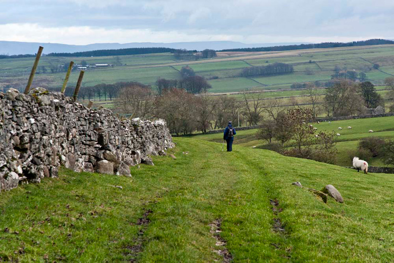
To reach the start we drove to Tebay, there taking the road towards Appleby. Then at the top of a brow it was left on the narrow side road that drops down to Crosby Ravensworth.
"There is parking by the telephone box, opposite the village hall", said Dad.
The actual published route was back along the road, but looking at the map, Uncle Eric suggested, "we can avoid much of this if we take the path opposite the
church over pastures and along by the Lyvennet Beck to Holme
Bridge."
"Good idea", agreed Shaun.
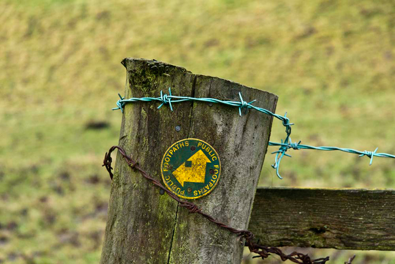
This was delightful. At a path junction where there was this unusual waymark sign...
Shaun said, "the lower arrow points back the way we have come, and the upper is a path north by the beck to Low Row. We just keep heading south by the beck."
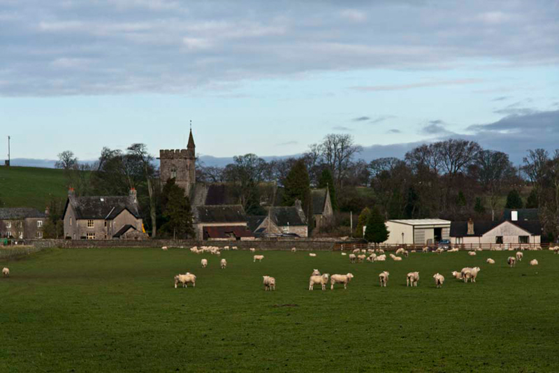
"There's a nice view to the village with its large
church, St Lawrence's", pointed Little Eric.
"Lots of sheep to", huffed Allen.
"Well at least not in close up", laughed Tetley.
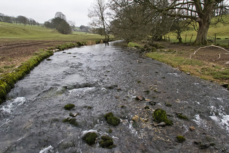
For a little way the path ran by the hurrying Lyvennet Beck. "That will make another nice picture", commented Little Eric.
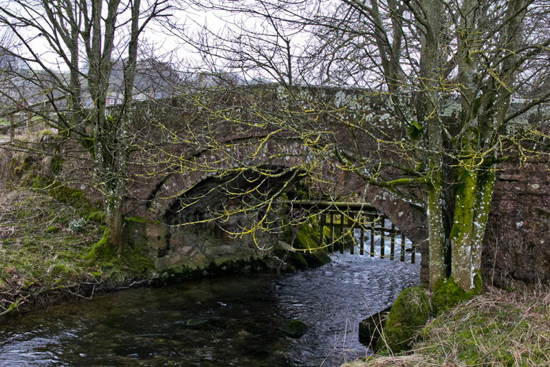
Walking on the path went away from the beck before coming beside it as we approached Holme Bridge...
...and crossing the narrow footbridge over a tiny side stream onto the road.
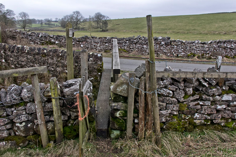
"Turn right along the road and then we soon take the bridleway left that is called Slack Randy", advised Shaun
Just by the
cattle grid is this post with an interesting plaque.
"I wonder what it represents?", asked Allen.
No answer was forthcoming, but Grizzly said, "I'll do some research when we get home."
This he did and was able to tell us, "it depicts the
village Pinfold with its cone shaped sculpture, that was part of
the restoration by the brilliant Andy Goldsworthy. In medieval Britain, pinfolds were
enclosures where stray animals were rounded up, if the owners
failed to properly supervise their use of common grazing land. A
fine then had to be paid to the 'pinder' for their release. This
is the origin of the phrase 'pin money'."
"Thank you pal", said Tetley.
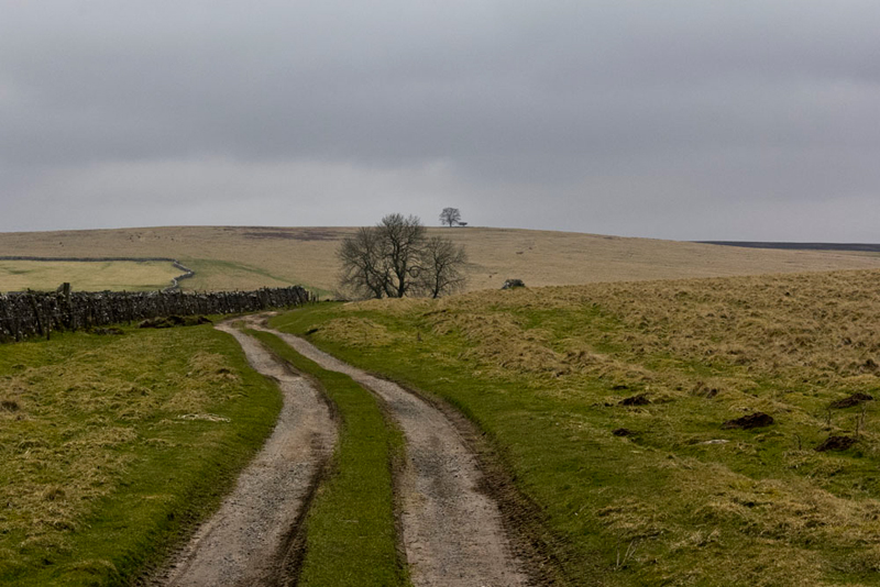
The track stretched out before us climbing
steadily.
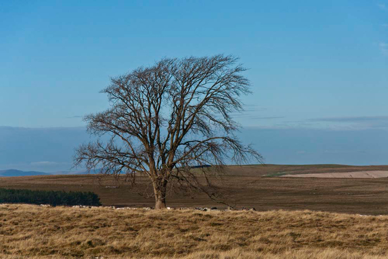
Shaun said, "ultimately we are heading to that distant large tree on the skyline. We will come to a junction where we go left to reach it."
"There are super views of the Pennines, as are those west over the Shap Fells
to Kidsty Pike & High Street", commented Little Eric.
"Aye lad, but sadly too far away for them to come out in pictures", replied Dad.
Passing to the left of the tree
the brow was reached. Shaun said, "follow the Coast to Coast signs."
These took us right to drop down the slope to the corner of a plantation,
about halfway crossing a trod.
"This marks roughly the route of the Roman Road
called Wicker Street, that linked the forts of Brougham and Low
Borrow Bridge", said Tetley looking at the map.
Just past the plantation at a junction we turned north to pass a wood. Here Dad and Uncle Eric were into the teeth of the wind, so it was
much colder on this section, and we snuggled deeper into the rucksack.
Opposite an old wooden fenced
sheepfold, Uncle Eric said, "if we take that narrow trod left we will shortly come to the
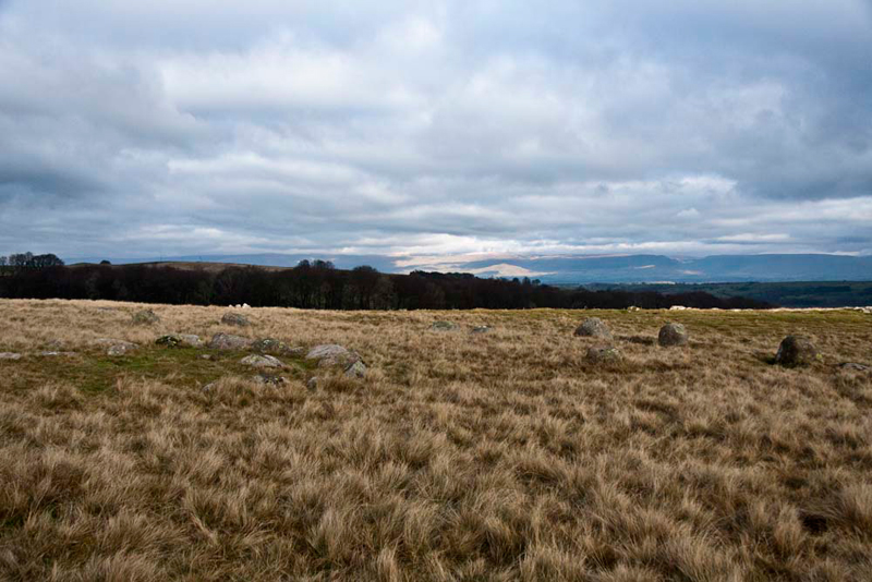
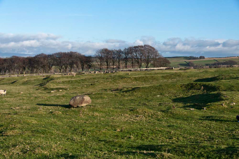
Oddendale stone circle. Worth a visit as we have come this far."
In fact it is a double ring stone circle,
the outer consisting of 34 stones with an inner circle of smaller
stones, and a single stone standing between the two rings.
"We have
never seen a double ringed circle before", commented Allen excitedly. "Thank you Uncle
Eric for encouraging Dad to visit."
Crossing the rough ground we then regained the track leading to a road, where Shaun said, "go right to walk through the
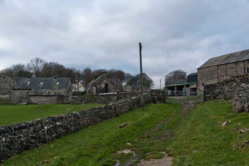
tiny community of Oddendale."
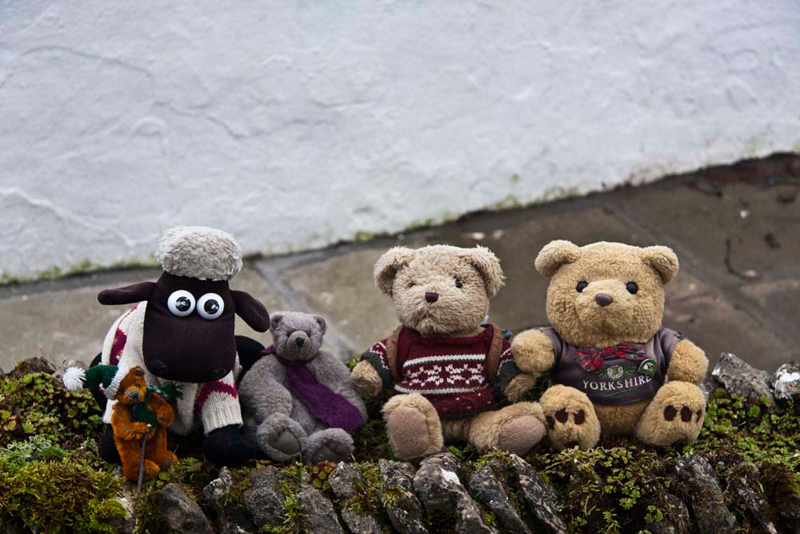
There are a few houses this being an example.
"Let's sit on that wall by the house so Dad can take our picture for the story", suggested Little Eric.
As we continued through the hamlet we could see that otherwise there were mostly farm buildings.
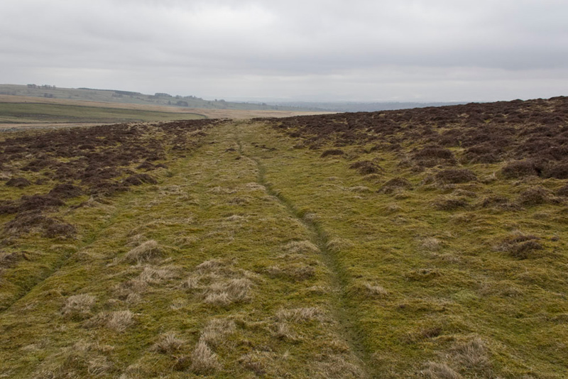
As we came to the far end, Shaun said, "it's right through that gate and along the shelf like
grassy path."
This led on passing though a number of gates, to come to High
Dalebanks, where the route became a narrow metalled road. This gently descended to Low Dalebanks.
Here, we took another diversion along a
track right, to climb to Ewe Close, the remains of a substantial
Romano-British Settlement, whose origins are thought to date back
even to the Iron Age. Whilst having an expert to interpret the
site would have added to the visit, we could see the banks of
earth from one to three feet forming the irregular squares and
circles where maybe the huts would have been.
"Fascinating ", said Tetley. "With the stone circle this walk has really taken us back to ancient times."
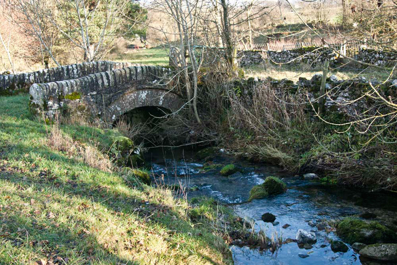
Returning to Low
Dalebanks, we continued along the road beside Dalebanks Beck, crossed by this pretty arched bridge that is a field access.
Strolling on we soon arrived in
Crosby Ravensworth.
"What an interesting walk", said Allen.
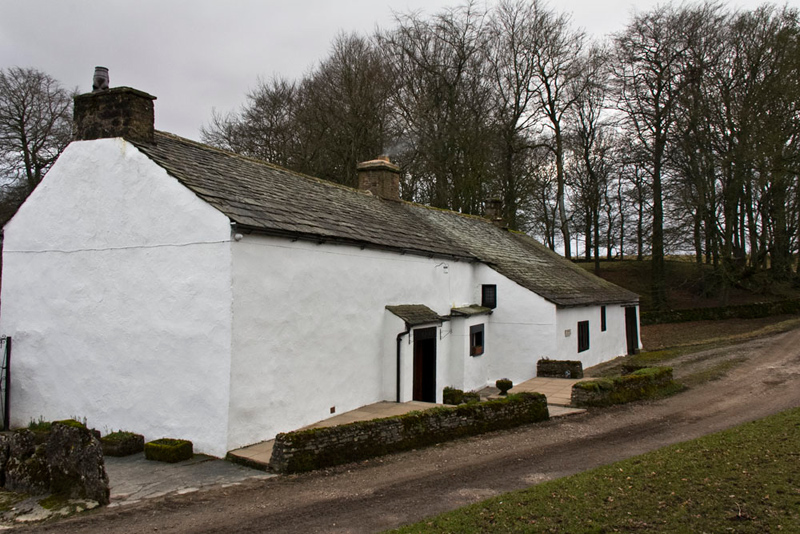
Due to the cold Dad and Uncle Eric had not brought a picnic. Tetley said, "I guess you will be going for refreshments now."
"Yes lad. To the Old School House in Tebay."
Uncle Eric had soup and a sandwich, while Dad had all day
breakfast.
We sensibly had packed a picnic, which we ate while
sitting in the car discussing all we had seen today.
Another
enjoyable day, thanks Dad.