"It's been over six weeks since we were last on the fells", said Little Eric rather mournfully.
"Yes I know pal", replied Shaun, as he poured the tea, "but that's because poor Dad has been suffering with pains in his shoulders and neck."
"I do understand" replied Little Eric. "He was surprised to find that Andrew his osteopath had left the area but he has got in with Dennis in Kendal, and we know that he is getting Dad sorted out.
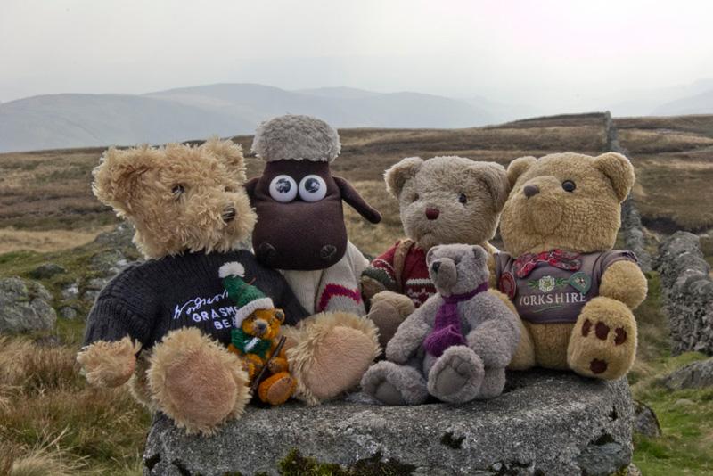
"Yes", said Tetley. "That fact that we walked with Uncle Eric last week, albeit on the gentle walk from Bentham via Burton and Ingleton is a testament to how much better he feels. Thanks pal", he went on as Shaun passed the tea. "What's the cake today, Grizzly?"
"Thanks to Little Eric, there is a choice. He has made coconut tarts, and I have made fruit scones with which there is butter and raspberry jam."
"Ooh scrumptious!", cried Tetley in reply, "I'll have one of each please."
"Me too", enthused Southey.
Little Eric had helped himself, but paused with a scone half way to his mouth. "Where's Allen? It is just not like him at all to miss out on tea and cakes, such is the tea belly he is."
"You are right", agreed Grizzly.
"Well wherever he is I'm sure he will be here soon, as he can smell tea a mile off", replied Tetley letting out a bellow of laughter.
Well sure enough he was right, as just a few minutes later Allen came bounding in through the door, shouting out, " I bring great news of our next walk, and you, Little Eric, are going to be a very happy bear."
"I'm anxious to know for sure, but get your tea and cake first", replied Little Eric
"Yes thanks, I'm.......
"gasping for a cuppa", finished Tetley, laughing out loud again.
So settled our pal drank his tea and had his cake. "The scones are really delicious, Grizzly, and your coconut tarts are scrumptious, Little Eric."
"We all really do appreciate all the baking you both do", added Southey. "I know I keep saying it but I am so fortunate to have been adopted by Dad, and to have become part of the walking club. So Allen, what's the news."
"Right", said Allen after draining his second mug of tea. "I had been talking with Dad, and he says that he feels well enough to tackle the fells again, so with a good forecast this Sunday we are going to Longsleddale to climb Kentmere Pike, Goat Scar and Shipman Knotts."
"That will be magic" cried Little Eric. "It will mean that I bag two more Wainwrights from Book 2 and with Goat Scar three Birkett tops too."
"It will just leave one walk then for you to complete Book 2", added Tetley. "That will be from Hartsop, up past Hayeswater and on to The Knott, to High Street, Mardale Ill Bell, Thornthwaite Crag and Gray Crag."
"That's right", agreed Little Eric. "I will have to hope that Dad will be able to do this before the end of the year, but looking at the diary he and Uncle Brian have lots of commitments, which will make our walks take a bit of a back seat."
"Well that's for the future", said Southey. "Let's look forward to Sunday."
"Hear hear", said Shaun, raising his mug.
Although it is not far to the start, we were nevertheless up early to get the picnic packed and stowed in Allen's rucksack. We heard Dad slam the boot of the car shut, having loaded his gear, so dashed out and settled on the seat for the drive. It was just a little before 09:00.
Which way do we go", asked Southey, "who alone had not been to this area before."
"We go to Kendal, then on the A6 north, before taking a left fork into the valley." replied Tetley. "The turning cannot be missed as there is a large sign reading 'Longsleddale'.
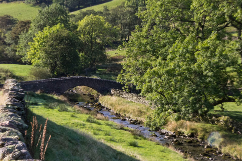
From the junction it is about 5 miles to the where the road ends at Sadgill Bridge, the road being single track all the way, so Dad took care, as we well remember from last time that he met not one but two tractors causing him to have to reverse.
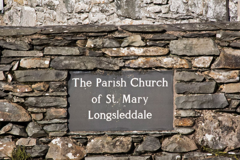
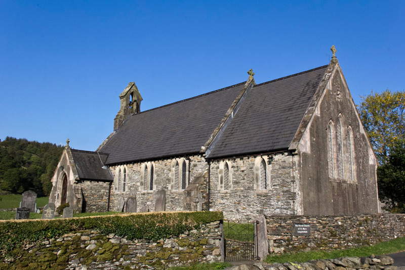
About half way is the church dedicated to St Mary, as indicated by the slate sign set into the wall.
Dad took a couple of shots, but bearing in mind the direction of the sun, this was the best. The building dates from 1863, being erected on the site of a former chapel.
As can be seen there were cloudless blue skies, and the day was to be dry throughout with more cloud bubbling up later, and a cool wind at times. Perfect walking weather!
By stopping at the church, we were fortunate to miss meeting the van and car coming the other way. Driving on we got past a cyclist, but then met another car that kindly backed up for us. Then rounding a bend we met the group of about eight sheep in the road, with a car coming the other way, which could not make progress because of the sheep.
"Oh heck", said Southey. "I now fully appreciate the difficulties getting along here."
"This will not be a problem", said Dad. "I will gently move forward which will drive the sheep along." By doing this just before the car coming the other way, they went left into a gateway, so letting us both to progress!
"We have had quite and adventure already", went on Southey, "and all before we have even got to the start!"
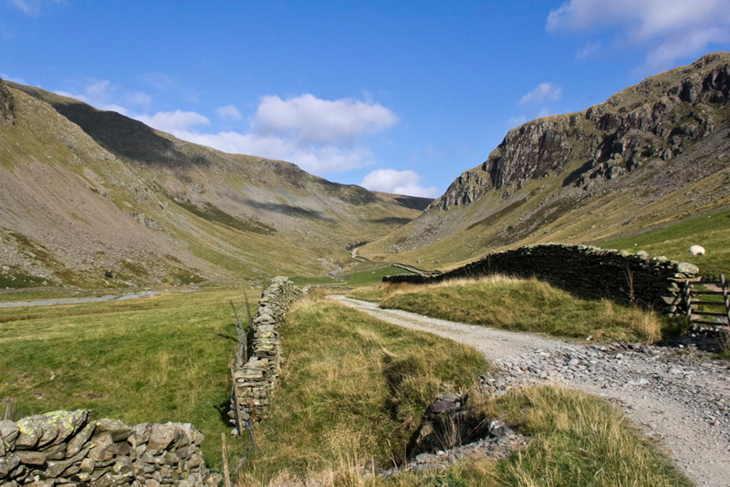
At Sadgill the road ends crossing the bridge left to the farm, while ahead the route continues as as rough track leading to Gatesgarth Pass, and eventually down the other side into Mardale and Haweswater. Dad parked beside the wall just past the bridge.
"Our route is on along the track ahead", Shaun told Southey. "After we have done the summits and descended, we will join a track that runs from the Kentmere valley to Longsleddale, which will bring us down by the farm and across the bridge."
"We have been along the track a few times in the past", reminisced Tetley. "Mostly to climb to the summits on the right side, Grey Crag and Tarn Crag. Also back in April 2004 a similar walk to the one today, except we walked on up the pass to take in Harter Fell, and then after Shipman Knotts we went up onto Green Quarter Fell."
"Oh happy days", agreed Grizzly.
I'm almost ready", called out Dad. "So come and get settled in the rucksack."
"OK", replied Allen.
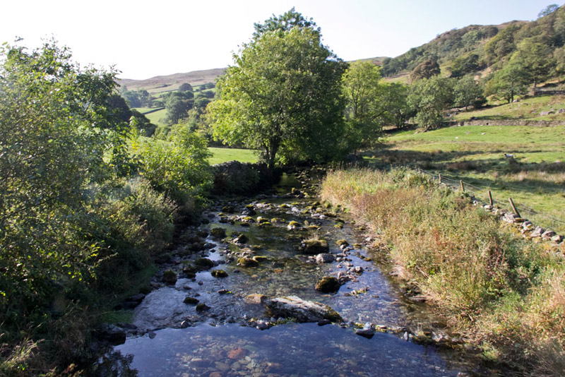
Before heading up the track, Dad first took us onto the bridge, so we could look at the river running below. "What is the river called?", asked Southey.
"The Sprint", replied Shaun. "It starts high up on the slopes of Harter Fell as Wren Gill, gathering various side streams, and those draining from the slopes of Branstree, after which is becomes the Sprint. At its end it joins the River Kent just to the south of the village of Burneside."
"Thanks pal. What knowledge you have."
Not really", replied Shaun, "I just followed it on the map, to get the information."
Here is the view looking downstream.
"Time to get off on the walk", said Tetley.
"Quite right, lad", agreed Dad putting best foot forward along the rough track.
"The valley was formed as a result of a glacier, long ago in the ice age.", said Allen.
"How do you know that?, asked Southey.
"Because it is 'U' shaped being carved out by the movement of the ice, as apposed to 'V' shaped if it had just been formed by the erosion of water.
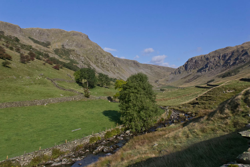
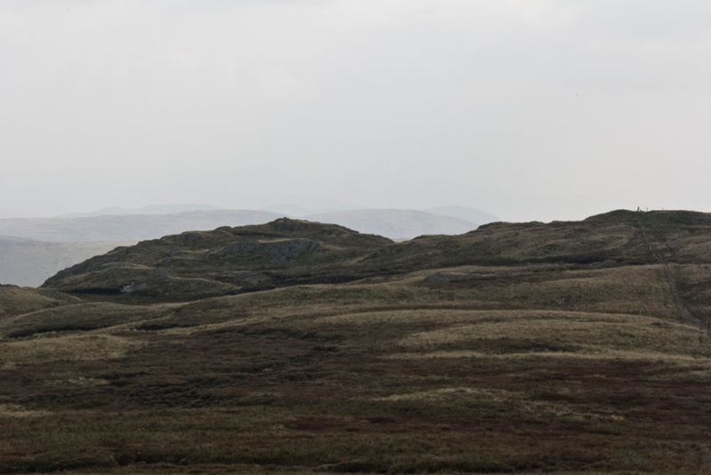
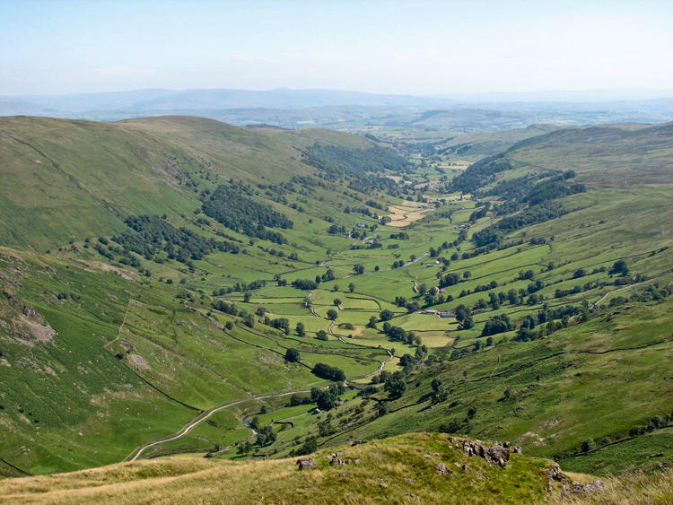
Tetley then said, "you can just make out the track winding up the valley, and we have to walk on beyond the crag dominating on the right side, that is called Buckbarrow Crag. To the left is Goat Scar, which will be the second summit today. It's highest point is out of sight high on the ridge."
"Thanks pals for the information, I am having a real school day", said Southey.
As Dad was taking this shot, Grizzly remarked, "that's a nice view looking back to Sadgill."
Dad strode on, and after about 15 minutes, we paused again, as he lined the camera up to take a further shot of the valley.
The track can be seen winding on round Buckbarrow Crag, that is now close on the right. On the left nearest is the slopes of Goat Scar, with beyond the very lowest slopes of Kentmere Pike, being Brown Crags, Settle Earth, and Steel Pike this last which was to be our ascent route.
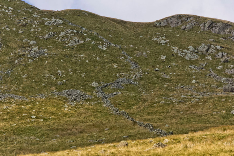
Further on the gradient steepened as the track zig-zagged, where just a little way beyond we came to a metal hurdle in the wall, from which we could now clearly see our ongoing route.
Shaun said, "we have to climb up by the ruined wall to get up Steel Pike."
"Phew, it looks steep", breathed Little Eric, "and there is no path either."
"I'm well used to that", replied Dad, "and it does not look as bad as some of the ascents in the past."
First however there was the small matter of actually reaching the wall, and getting across the River Sprint. This however proved to present no difficulty and picking his way carefully across the trackless ground we were soon by the wall. A steady climb followed with a little scrambling at times. Dad was right in that it was not a steep as some we have done, just that it seemed to go on and on, but eventually more level ground was reached
Here Dad said, "I am pleased that I did not get too out of breath, but my legs have lost just a bit of strength, but that is hardly surprising after the lay off."
"OK", said Shaun, "it is just a matter now of continuing up to gain the ridge, the direction being roughly WSW."
This is likely a little used route, as Kentmere Pike is generally summited, as part of the Kentmere Horseshoe, along the ridge, so without any surprise there was no path. In his book Wainwright shows the route keeping to the left above Settle Earth. However we took a route more to the right, crossing a boggy area, then up by some outcrops and on to gain the ridge, much nearer the summit.
As we approached the ridge, Allen suddenly called out, "look, there is the trig point at the summit, just a little way over to the right."
In minutes we were there, and Little Eric cried, "yippee, that's another ticked off. Come on let's sit on top for our picture."
"It's really too windy", replied Dad.
"Well we insist", replied Southey.
"It is you that is the problem, because yes you are the biggest of all, but you are very light", was Dad's reply.
We began to get settled and Dad was actually proved right, as almost immediately Southey was blown off.
"Try sitting on the other side", said Dad
This he did, and finally Dad was able to snap our picture, but even so Tetley was teetering a bit.
"There's a cairn on the far side of the wall", said Southey.
"True, but the trig point is the summit", replied Tetley.
However we did climb the stile and Dad took us at the cairn too.
"Right. If we are going to Goat Scar, we need to be on the trig point side of the wall", said Shaun.
This is the view that faced us. It is rather dark as the terrain was pretty featureless and drab.
The path led along by the fence on the right of the picture, the highest point by it being the actual summit of Goat Scar as shown on the OS map by the spot height at 626m (2054ft). We did not immediately go to that, rather we drifted left to the rise that is topped by the cairn, where in fact Dad took our summit picture. The main reason for going here however is the fine views.
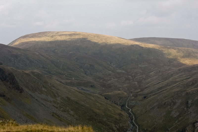
First looking north to Gatesgarth Pass. "The track is like a giant snake", remarked Little Eric.
"What is the fell partly in sun?", asked Southey.
"Branstree", replied Tetley, "with High Howes behind to the right."
"We climbed them from Mardale earlier this year", said Southey.
"Indeed we did", agreed Grizzly.
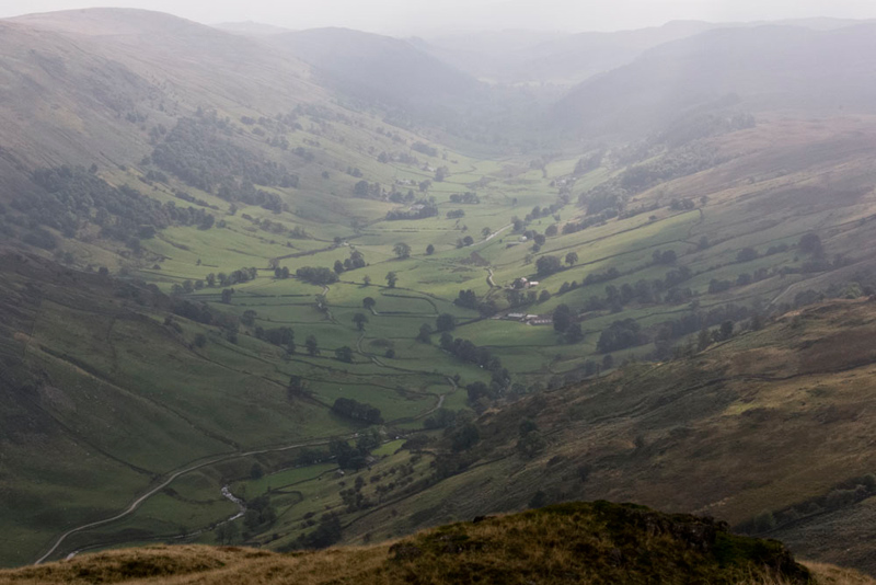
Then looking south there is a terrific view of Longsleddale. Taken today the view was rather hazy,
but on 16th July 2006, doing the Kentmere Horseshoe, it was much clearer and spectacular. The hills above the valley to the left are part of the Bannisdale Horseshoe, which we had last climbed with Uncle Eric on 8th August 2013, as part of his and Little Eric's quest to complete the Wainwright Outlying Fells.
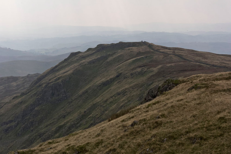
Shipman Knotts was to be our final summit of the day and swinging the camera round Dad took this shot. "There looks to be a trig point?", said Southey.
"Yes I agree that's what it looks like, but in fact it is just the wall going over the highest point", replied Shaun.
Leaving the cairn we now walked to the fence corner that actually marks the summit of Goat Scar, where we recorded the GPS reading, but as it was not very far from the cairn we did not bother to get out again for a picture.
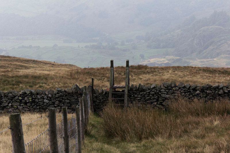
Then having climbed the fence we walked on by it to cross the ladderstile in the wall. Distantly behind can be seen part of the Kentmere valley.
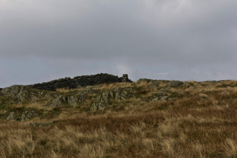
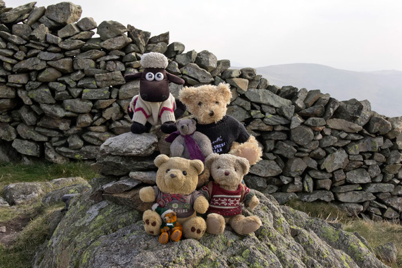
Here we rejoined the main path, going left to walk by the wall and climb steadily the 80 feet or so to Shipman Knotts. In his book Wainwright has the summit on the left of the wall, but this is not accessible. Instead a small cairn stands on a rock at about the same height on the right side.
"Great", cried Little Eric, "that's the summits done. Come on pals let's settle for our picture."
"Time for lunch lads", said Dad.
"Ooh great", replied Allen. "I was getting hungry."
"No change there", laughed Tetley.
To do this we decided to move off a few yards to free the summit for an approaching couple with their lovely sheep dog Kegs, who was having a great day. Dad had moved his rucksack, but by the time they arrived we were still sitting on the cairn.
They said, "we thought our eyes were deceiving us, but no, there really are teddy bears."
As Dad explained, and about our stories, they said, "what a lovely idea."
As they headed off we settled for our lunch, before we began the descent. First by the wall, then on a path drifting away towards Kentmere. This was not actually the path we wanted, as it brought us to the track nearer the Kentmere side so making a slightly longer walk back to Sadgill, but was less steep.
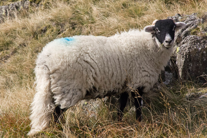
We were now quite near to the end of the walk, apart from the return along the track, and we dared to hope that we might get through this story without any photographs of sheep. But just when we thought it was safe, the path took us past a few blackfaced sheep. Dad had the camera out and snapped off a shot, but it was not very good. Great we thought, but then just a minute later another stopped eating the grass and posed beautifully.
"Darn", called out Allen in exasperation.
"Never mind", replied Southey, "I think it is a nice looking sheep."
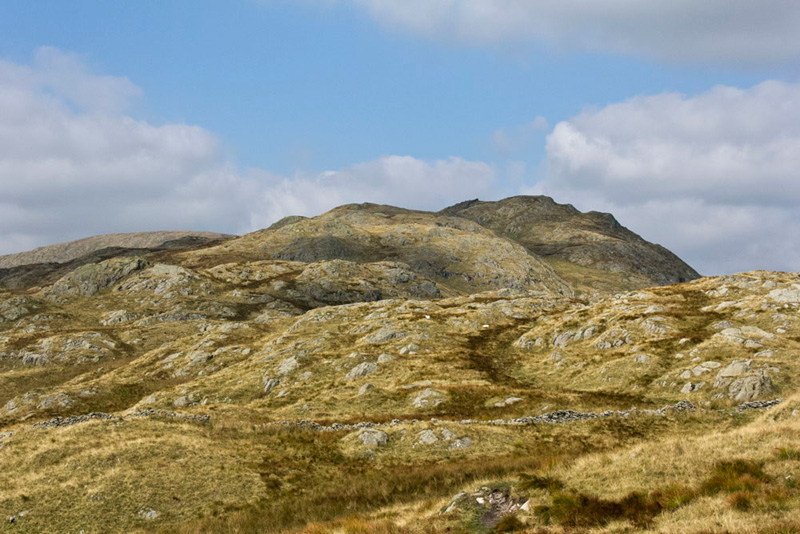
Shortly after, as we neared the track Grizzly said, "that is a good view looking back to Shipman Knotts, especially as the cloud has passed over."
At the track we turned left towards Longsleddale. A little way on we met two cyclists. One was waiting for his companion to catch up and commented on Dad's, Camera Care Systems bag, saying, "you don't see many of those now."
Dad agreed replying, "the company has closed down, more's the pity as they are without a doubt the very best."
His companion arrived and the conversation continued about different things. Then he saw us, poking out of the rucksack. Once again today Dad explained and they both thought this was great and quirky too, even more so when he told them about our website and gave the address. His companion suggested to the other that he tweet my website later to his followers. Great we thought more hits then!
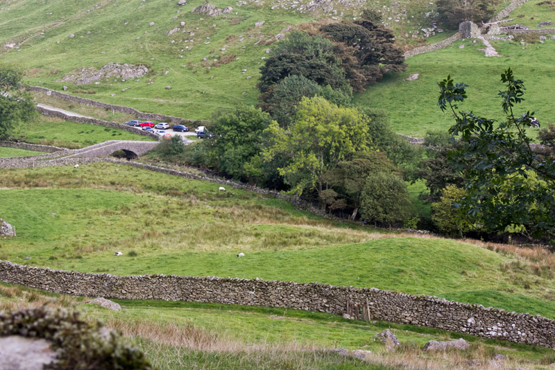
So, leaving them to ride on to Staveley and Wilfs Cafe, we walked to Sadgill and the car, seen here from shortly before the farm.
As we decamped from the rucksack Little Eric said, "thanks Dad for a super walk and progressing my plan to complete Book 2."
Tetley added, "we have all thoroughly enjoyed day and it was so nice to have met those lovely people!"
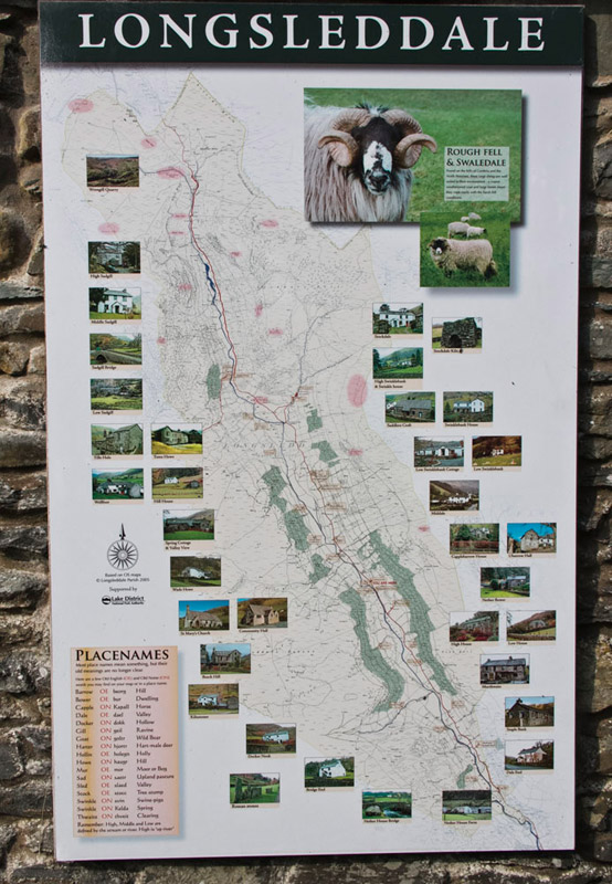
Some of the valleys we see are very lonely places with no habitation whatsoever, like Bannerdale near Mungrisedale. Others have very few habitations like Bannisdale, that is the next valley to Longsleddale. This cannot be said about Longsleddale, which we could see has many occupied buildings, whether farms or private dwellings, and of course the church and community hall. We had noted this morning when stopping at the church that attached to the wall of the toilets was an interesting map of the valley showing the names and locations of the houses, farms, church and other sites. The sun had been in the wrong direction then, so we stopped on the return now, to get this photograph. For more information about Longsleddale click the link
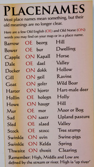
You will see that in the bottom left corner there is a further table that explains the meaning and derivation of some of the words used not only in the places referred to on this map above, but all over the Lake District and beyond.
So then Dad drove this very happy band of adventurers home, where we reflected on another great day in the hills, and telling our pals all about it too.
Thanks Dad!