December 2007 was a good month for
walking with Uncle Eric. Besides the Stennerskeugh adventure, on
the previous two Tuesdays, we climbed in the Howgills, and
rambled along the Lancaster Canal. Due to conditions however
there were not so many opportunities for photographs, so in the
latter case the account is rather brief.
LANGDALE
KNOTT & WEST FELL from RAISGILL BRIDGE
Summary
Date - 11th December 2007
Distance - 9 miles
Map - OL19
Start point - Raisgill Bridge (NY
635058)
Summits Achieved
Name
Height (ft)
Height (m)
Grid Ref
Langdale Knott
1565
477
NY 6597 0200
West Fell
1778
542
NY 6703 0152
The Walk
After a dreadful week's weather
last week, it was so nice to have some calm sunny weather. Rather
cold but that is to be expected in December.
Today's walk took us into the
Howgill Fells, walking in a southerly direction from the northern
boundary. Having climbed some of the northern tops, this was to
be the start of a determined effort to complete the rest,
involving a number of walks to remote and lonely places that are
little frequented. On this and most of the succeeding walks on
the north side of the Howgills, we saw no other walkers.
Parking at Raisgill Bridge we
walked to the A685 then crossed into Gaisgill Village passing the
house that was once the old station building. This is because the
current main road is built on the track bed of the long closed
railway line. The narrow lane soon brought us to the hamlet of
Longdale passing the old school. Taking a gate on the left we
entered Cowbound Lane, a grassy track very wet in places,
following it to the end and a gate. Then on along the track
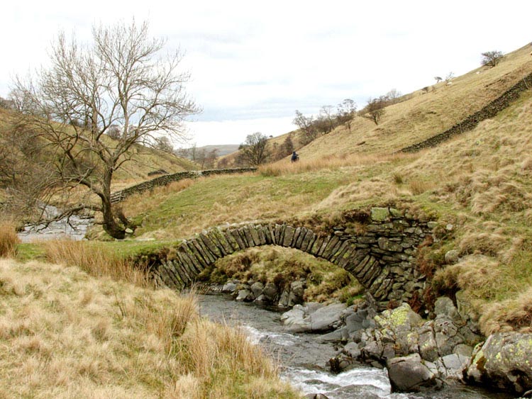
keeping near to the wall on the right to a corner. Down the slope
to the right flows Langdale Beck, crossed by this old arched
bridge, photographed the following March on another expedition.
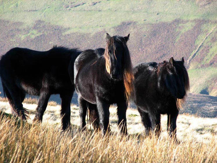
The view in front now opened up and
we could see clearly our objective Langdale Knott and to its left
West Fell. In front was a narrow valley that we crossed to join a
definite track leading up Langdale Knott. The Howgills are home
to many beautiful wild horses, such as this group we saw on the
ascent.
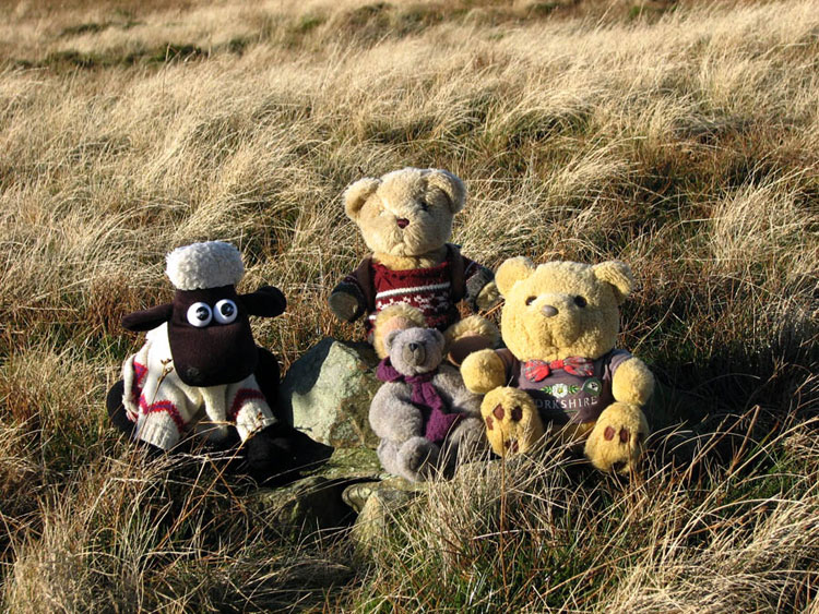
The track led all the way to the
summit of Langdale Knott with its small cairn, which we sat
proudly by for our picture.
Afterwards, we all just stood
looking at the wonderful views all round. Being December the
bright sun was low in the sky, which sadly prevented Dad from
getting any pictures. Below was the Langdale Valley with its
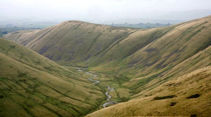
stream glittering in the sunlight. On a somewhat less sunny day,
this is Langdale taken looking north from Hazelgill Knott. Like
all the Howgill valleys it is steep sided. The high point on the
ridge to the right is Langdale Knott, where we were currently
standing.
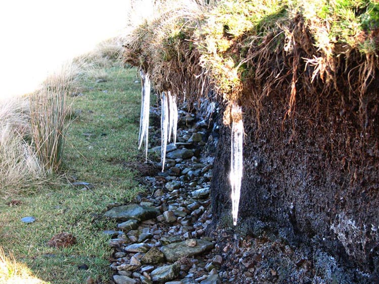
Following the track, it descended
into the valley circling above Birkgill Moss. It is plain to see
how sunny the day was, as evidenced by the sun glinting on these
icicles hanging from a peat hag.
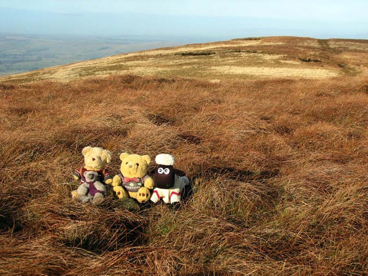
Now followed the steep and
relentless climb to the ridge of West Fell, where a short stroll
right brought us to the summit. There is little or no rock or
stone around, so had to make do with the small pile of stones as
a cairn to sit on for our photograph. The track on the right of
the photograph was our route off the fell.
Before setting off Dad and Uncle
Eric did the "Eric Robson", as we call it. That is
identifying all the fells that could be seen. The mist looked
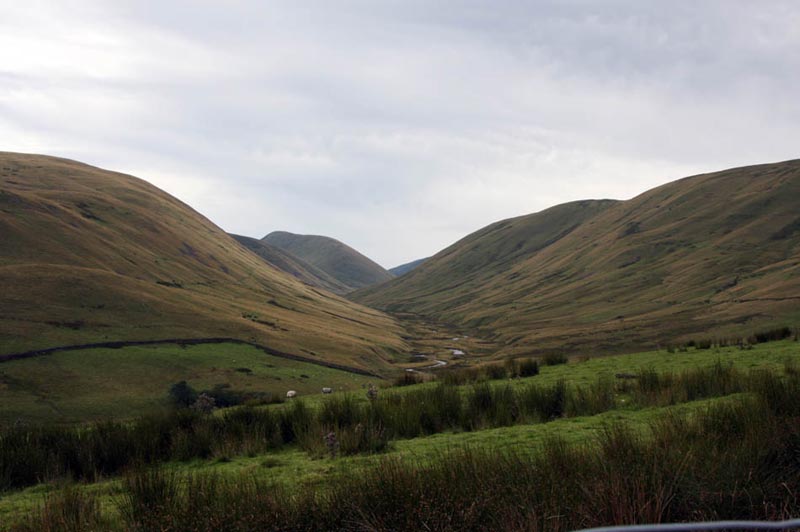
like it was going to come down, so settling in the rucksack, Dad
and Uncle Eric strode off north along the ridge, descending
steadily, to eventually joining the path that runs through
Bowderdale, the valley below to the right. This is the fine view
looking south along it, the dominant hill in the distance being
Yarlside.
Hungry, we found a few level stones
by a small gate, to sit on to have our picnic. Refreshed we
walked on to the road at Bowderdale Foot, and turned left to its
end at Long Gill. Here a bridleway led over fields past the farm
at Flakebridge and on to Cotegill. Joining a narrow road this led
to Longdale, where our outward route was followed to the car. A
superb day on these lonely fells. We were down by 15.30, after 6
hours walking. Perfect timing too, for Uncle Eric and Dad to go
to Lune Springs Garden Centre for tea and toasted teacake - very
nice! Dad bought some marmalade and chutney too.
CONDOR
GREEN and LANCASTER CANAL
Summary
Date - 4th December 2007
Distance - 7 miles
Map - 296
Start point -
Car park at Condor
Green (NY 457561)
The Walk
On a damp drizzly and latterly
rainy day (Uncle Brian thought we were mad to even set out),
Uncle Eric drove us to Condor Green, a few miles south of
Lancaster. From the car park we strolled along the road to the
The Stork Inn, here crossing the main road, to continue almost to
Webster's Farm, where we took the footpath left over the fields.
With the rain recently it was very muddy underfoot and care was
necessary not to get bogged down. The path led through Parkside
Farm and Forerigg Wood to the Lancaster canal at Galgate.
Turning north we then followed the
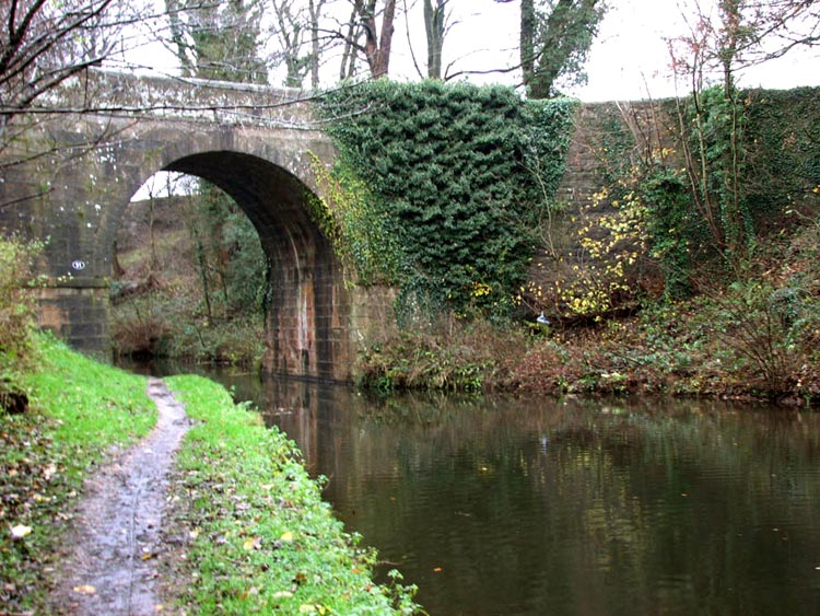
towing path through pleasant woodland and open country. A number
of bridges crossed the canal, including no. 91 - Brantbeck Bridge.
Continuing on, we finally left the
canal just a few yards before bridge 93, where a narrow path led
up the bank to a lane. This was followed left to the main road.
Just a few yards left a lane on the right was taken and followed
right into the tiny hamlet of Stodday.
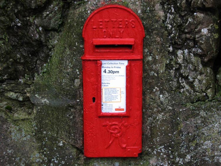
"Look there", called out
Shaun. "That wall post box looks very old."
Peering to get a closer look,
Tetley said, "it was installed in the reign of Queen
Victoria."
What made us smile was the legend
at the top 'Letters Only'. Any parcels would certainly have to be
very small indeed to get through the slot!!
At a junction, we turned left along
the road that ended at the Sewage Works. A track continued on
past this to reach a path and cycleway, as part of the Lancashire
Coastal Way, on the track bed of the old Lancaster to Glasson
Dock branch railway. To the left was the river Lune, while to the
right for part of the way was Lancaster golf course. The track
led us to the the car park at Condor Green, which is the site of
the old station.
Glasson Dock is a harbour on the
river Lune, developed originally in the 1780's. It was connected
to the rail network by means of a 6¼ mile branch from Lancaster
opened by the London North Western Railway in 1883. It was closed
to passengers in 1930 by the London Midland and Scottish and
goods in 1964 by British Railways.
Before setting out, due to the
weather, Uncle Eric and Dad had decided to go to The
Stork Inn for lunch. They
enjoyed and excellent meal that revived them, also allowing them
to dry out somewhat after the soaking on the last mile of the
walk. Meanwhile we ate our own picnic that we had wisely stowed
in Uncle Eric's car. Shaun had made flasks of tea, which revived
and warmed us up.
Despite the rain, thanks Dad as
always for taking us out.