"That was a lovely walk with Uncle Eric, last week", said Allen.
"I know we had done sections of it before, but a good section of the road from Ings was new and we had that lovely view of the Langdale Pikes", replied Tetley.
"It was all new to me", said Southey. "How I am enjoying all the exploration. I never could have dreamed of this when Dad adopted me."
Just then Shaun arrived with Little Eric and Grizzly. "We bring tea and cakes", he announced.
"Ooh great", cheered Allen, "I was gasping for a cuppa."
"No surprise there there", laughed Tetley as he and Southey went to get the mugs and plates.
"What is the cake?", asked Tetley.
"I have done flapjack", replied Little Eric, and Grizzly has made fruit scones, and there is butter and raspberry jam."
Soon with steaming mugs in paw, we were tucking into the cake.
"The scones are scrumptious", enthused Southey.
"And the flapjack too", added Allen.
"So is there a day down to walk this week?", asked Shaun.
"Yes on Thursday", replied Allen. And navigating to the Met Office app, he went on, "the weather looks to be OK too."
"Uncle Eric came up with the last walk, so I guess it is our turn now", said Grizzly.
"Uncle Eric said it would be nice to walk in Yorkshire", said Shaun.
So as we munched on the cake we put our thinking caps on. Then Tetley said, "there is that walk that starts in Ingleton and goes to Masongill then up and over the tops to Kingsdale, and then back to Ingleton. We have done it before, but I doubt Uncle Eric has."
"Sounds a good idea", enthused Little Eric.
"It is in the walks binders", said Shaun. "One of the early ones published years ago in the Lancaster Guardian."
Allen went to help Shaun lift it down and almost immediately they found it. "It is numbered 6 in Dad's listing", said Shaun.
"Looks good", agreed Allen. Then draining his mug he picked the sheet up and headed off to see if Dad liked the idea.
Not many minutes went by before he returned a wide smile on his face. "Dad is happy with our suggestion, he is sure that Uncle Eric has not done it and it is new to Southey too, so let's hope Uncle Eric agrees.
"Ooh yes", cheered Southey. "Another new area for me to explore."
The Walk
It was to be a cold dry day with some sun and snow was lying above about 1000ft.
We met Uncle Eric at the main car park in Ingleton where long ago now the railway station used to be.
"Good morning Uncle Eric", we called out.
"Hello lads, good to see you all."
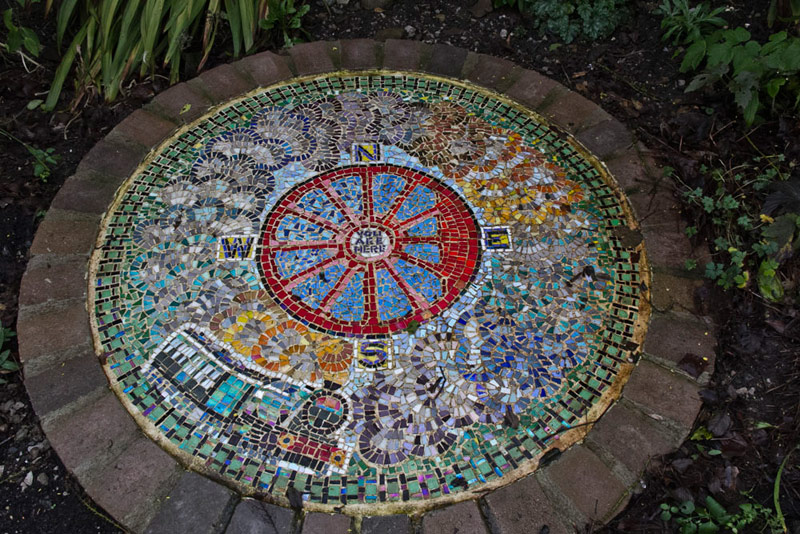
Dad was soon ready so we got settled in his rucksack and off we strode. Not many yards however as we all saw this mosaic.
"It seems to celebrate the railway heritage of Ingleton," said Grizzly. The central compass is depicted as a steam engine wheel, and round the edge is the train track and train."
"Quite", agreed Little Eric. "It is lovely and so colourful too."
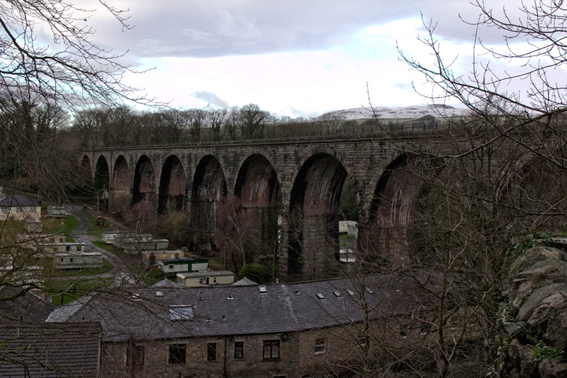
Strolled on out of the car park, to again stop almost immediately to photograph the huge viaduct that dominates the village.
It has 11 arches each 57 feet (17 m) wide. The overall length is 800 feet (240 m) with a maximum height of 80 feet (24 m), spanning the valley of the River Greta. The foundations of this had been laid in 1849 by the North Western Railway, but it was left to the Lancaster & Carlisle Railway to build it from late 1858 to 18 May 1860, using white sandstone from a Bentham quarry. On 23rd November 1988 it was designated a Grade II listed building.
We stood a little longer marvelling at this feat of engineering then Little Eric said, "I suppose we had better be getting going properly on the walk."
Past a few shops, it was then down left to cross the River Greta, and come to the entrance to the famous Ingleton Waterfalls. "It is many many years since I walked round those", remarked Dad.
Shaun pointed left and said, "we go over that stile in the wall opposite."
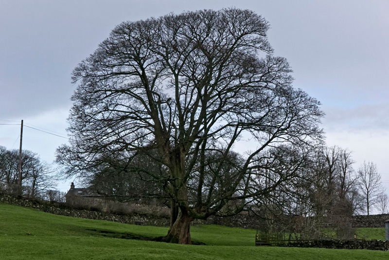
The clear track/path led to a gate, to then continue by the wall, the walking made harder by the muddy soft ground, to pass a barn and round the wall to a stile and on towards Thornton Hall.
"That is an impressive and shapely tree its branches bare and stark against the sky", said Grizzly.
"There's a gate in the wall to the left, which must be our route", called out Allen.
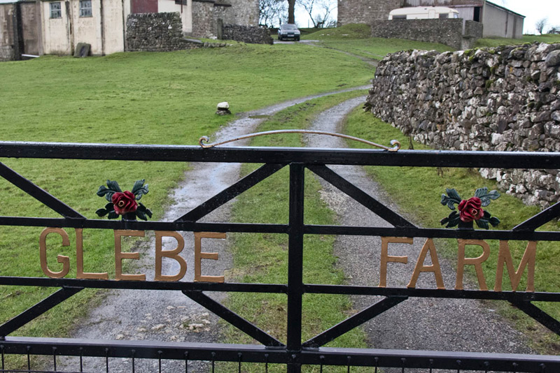
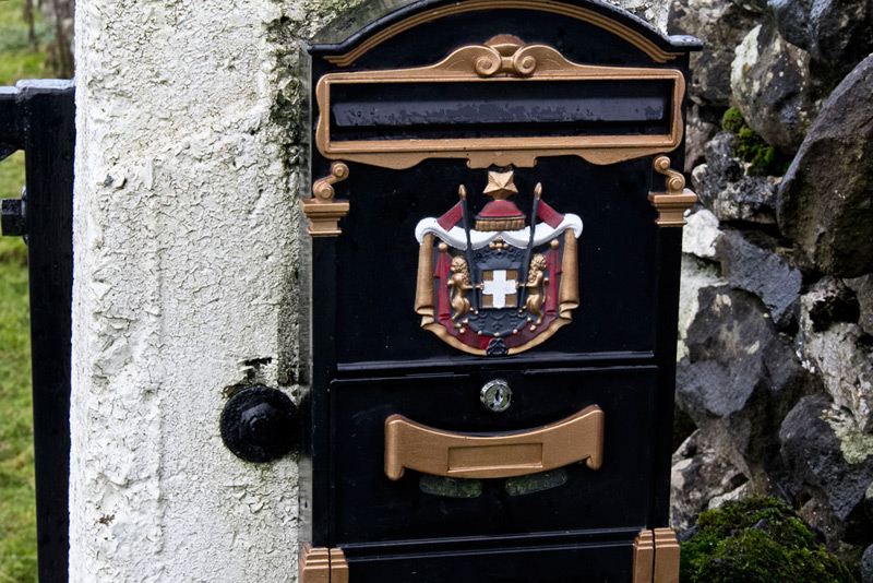
Turning right we almost immediately passed Glebe Farm with its lovely gate....
...and beside this ornate postbox.
Shortly Shaun said, "we turn left along that walled track just ahead."
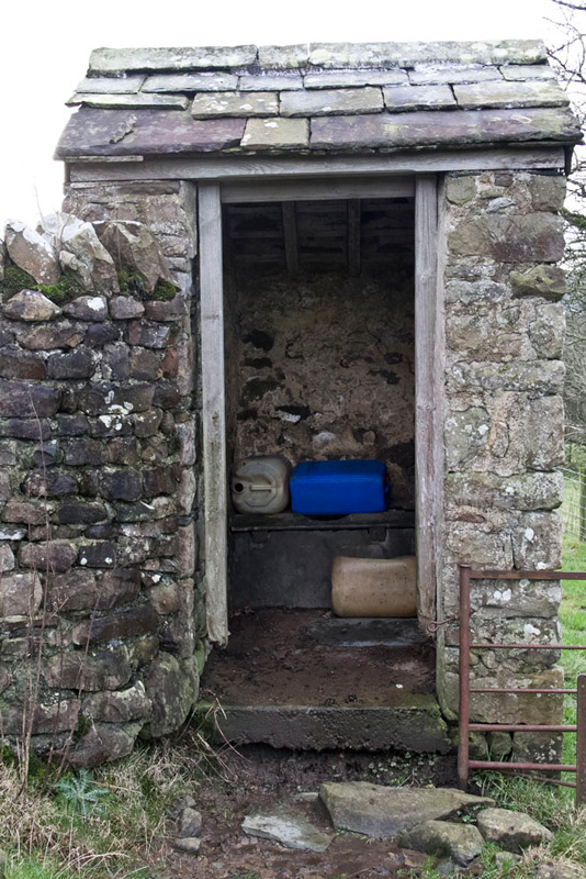
This led to a gate into pasture, and then on ahead keeping up, and via stiles to the sad forlorn ruins of Cowgill Farm. Passing through the buildings we noted on the left the structure that would once have been the Thunder Box (outside lavatory).
A stream beyond the farm was crossed then we continued along the stiled way. At one awkward stile Dad felt something catch, but thought nothing more of it at the time. The next field then led to a final step stile onto the narrow Westgate Lane.
Immediately opposite was a step stile that was our continuing route, with wall on the left, but then soon climbed a stile in this to the other side.
Dad felt for his GPS to check the distance so far, but the pouch was not there.
"Oh heck", Dad said, "I seem to have lost my GPS."
"Oh dear", replied Uncle Eric.
It was then Dad recalled the incident at the stile before the one to Westgate Lane. He related this to Uncle Eric, saying, "you wait here while I go back and see."
Stepping out determinedly, we were soon at the stile in question and climbing up there was Dad's GPS lying on the wall.
"Phew!", exclaimed Southey with relief and echoing us all.
Strode back to Uncle Eric, who was relieved Dad had found it. Set off once again crossing more soft wet pastures, via stiles to pass through Fellside Farm and then on to bear left down to Masongill Hall. Crossing a concrete drive and then through a gate, and on over pasture by a wall, brought us to the road at the hamlet of Masongill. By a house two gentlemen were working and we stopped to chat, mostly about the terrible weather recently.
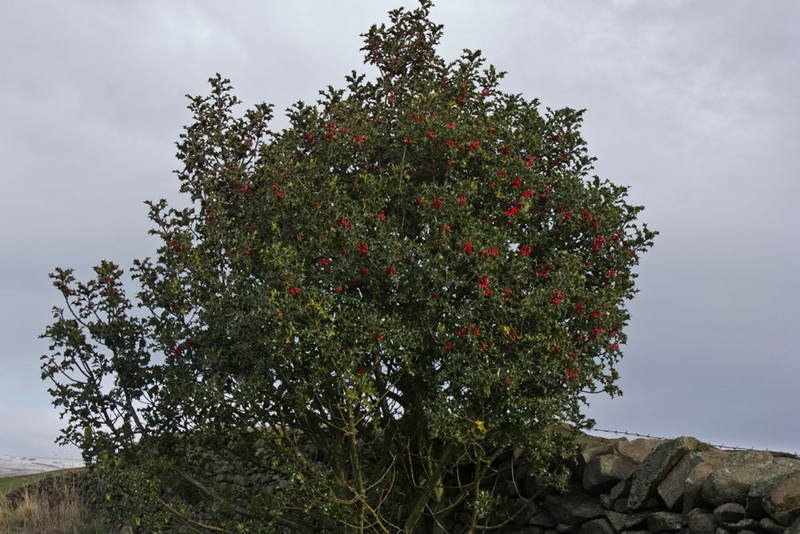
Saying our goodbyes it was best foot forward for the long steady climb on Masongill Fell Lane, to the point where the tarmac ended at its junction with Tow Scar Road, passing on the way this large holly tree.
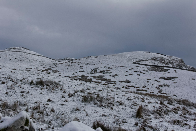
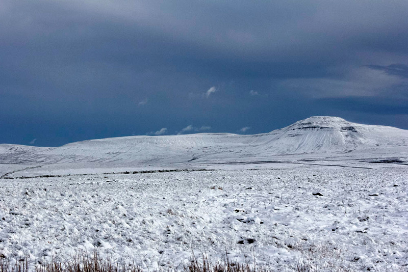
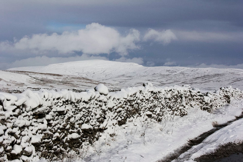
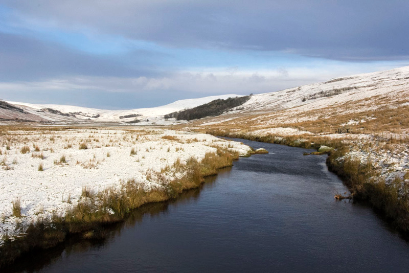
All the time we had been gaining height and now we were above the snow line as this shot of Low Plain and Tow Scar shows.
"Ooh" said Southey, "how exciting to be walking in snow.".
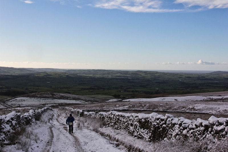
The track called the Turbary road was snowbound and Uncle Eric can be seen making the climb, while distantly behind all is green stretching away to the coast.
The track wound on going right then left and finally reaching a brow.
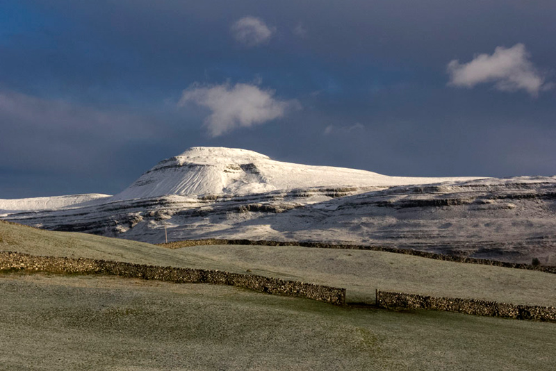
"Wow", exclaimed Tetley. "What a stunning view of Ingleborough with Simon Fell to the left. They look so close yet there is Kingsdale, Twistleton Scars and Twistleton Dale in between."
"And to Whernside too", called out Little Eric. "That was the first fell I climbed, just the day after I was adopted. I recall that the wind was blowing fiercely, but nevertheless I managed to hang in to have my picture taken at the trig point.
"We should keep on until there is a cross wall, then go right to make the descent to Kingsdale", instructed Shaun.
The map shows the path is straight all the way, but from past experience this has not been the case in practice and often the path can be hard to find. Initially though despite the snow the route could be discerned as it meandered, dropping gently, to eventually come to a ladderstile over a wall.
So far so good then. Beyond it was a different story as the way was barred by extensive limestone pavement that in the snowy conditions made for difficult progress.
Uncle Eric and Dad discussed the route, and decided to head left to the wall running down the fell, hoping to get better progress by it, but this proved to be a false hope.
"Ooh, I am not liking this", said Southey worriedly.
"Don't worry pal", reassured Allen, "Dad is sure-footed like a mountain goat."
Seeing then that in the opposite direction the limestone pavement ended, we now crossed back, ironically passing below the ladderstile!
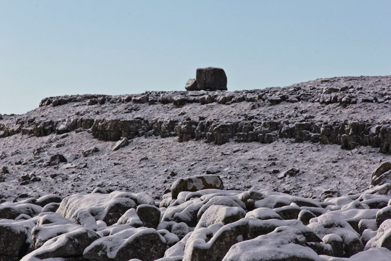
A large boulder could be seen perched on the fellside. Glancing at the map Grizzly said, "it is called the Cheese Press Stone."
Finally there was a gap in the pavement that allowed descent, over grass to gain the stile to the road in Kingsdale.
"We go left then shortly right on that wide track". said Shaun.
This led to a bridge over the Kingsdale Beck.
The path of the waterfalls walk comes out to this track and it was here that we saw the only other walkers, a young couple, who were doing that walk.
The track climbed over the end of Twistleton Scar, and then down to Scar End Farm. The waterfalls route goes on ahead, but we turned right to walk the unfenced access road with its smooth tarmac surface.
"If only our road at home was this smooth", remarked Tetley.
"In our dreams, I think lad", replied Dad.
Southey was looking left and exclaimed, "that is another superb view of Ingleborough."
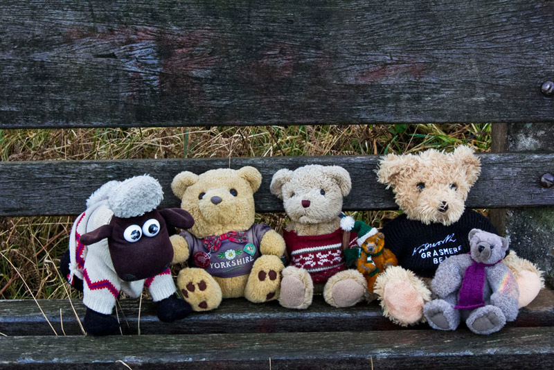
This access road brought us to a gate onto Oddies Lane, that was now followed down to Ingleton. Along here was a seat that provided a convenient place for us to sit for our picture. Well, we have to make at least one appearance in the story.
As Dad walked back to the car park, Allen let out a cheer. "I have managed to get a sheep picture free story. Yippee!"
"That has been super walk", said Uncle Eric, "thank you lads for suggesting it and repeating it too."
So saying our goodbyes all that remained was for Dad to drive us home and so shatter Uncle Brian's peace.